Ride Report
March 6, 2021
 |
| Sunset on E. Sahuarita Road |
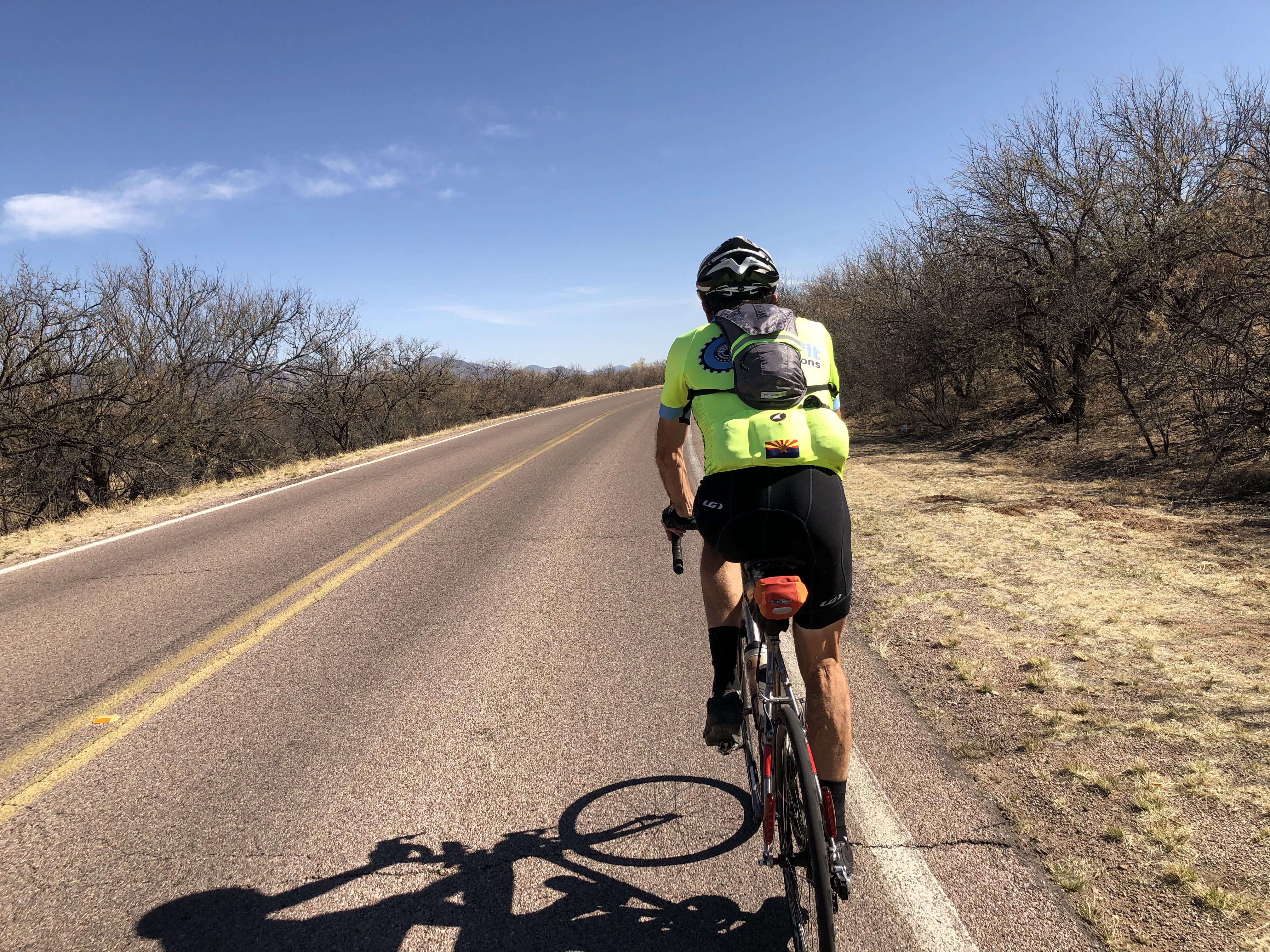
A bakers dozen of randonneurs turned out for the 2021 editions of the Arivaca 400 and 300 brevets. Still in COVID protocols, this would be a 'no touch' brevet with electronic sign ups and ride verification. Frankly, we think the new protocols simplify the process and make it easier on the riders and organizers. Hopefully the new rules will stick when we get back to 'normal.'
Our hard-working Regional Brevet Administrator Mike Sturgill pre-rode the 400 earlier in the week, and was back to ride the 300 with Canadian hard-man Stephen Kinney. The 300 follows the same route for the first 100 miles to Amado, so both groups would start together.
 |
| Mike Sturgill gives the pre-ride brief |
Since the ride starts at 0600 we decide to book a room near the start in Marana for the night before, and night of since we expected to finish around midnight. The cheapest alternative was the Super 8 and it was anything but 'Super.'
Winds were predicted to be heavy in the early part of the ride (15-25 mph gusting to 35-40), and mostly unfavorable cross-winds. Leaving the hotel for the ride across the street to the start, the flags were already standing straight out!
Mike provided the rider brief, we turned on lights and GPS units and were off at 0600. The route snakes through the north end of the Saguaro National Park through Picture Rocks pass. Mostly heavy cross-winds until we reach the top for the run down to Picture Rocks. The wind is on our tail, we are rolling at 35 mph, and its totally calm.
 |
| New pavement on Sandario Road! |
 |
| Lights blazing! |
We quickly reach Picture Rocks and turn south, and are treated to a micro abrasion treatment from the desert sands flying in the 30 mph cross-wind. At least Sandario road was recently repaved! Its 15 miles to the next turn so it was quite a slog to AZ86. We are in a group of 6, but there is little relief from the cross-wind!
 |
| Baboquivari Peak in the distance |
Turning right on AZ86, its slightly downhill with a tailwind for some relief for the next 6 miles to Three Points. Those miles flash by, and we turn south again for more cross-wind for the next 32 miles on AZ286.
We pass the Border Patrol checkpoint with the group. Its unmanned, after the ride we find out that many of the agents have been called to the border crossings in the large towns along the border. Its 3 hours into the ride, and with at least 15 hours to go we decide the pace of this group it just too fast. We drop off the back with about 15 miles to go to the control in Arivaca and dial the pace back about 25%!
Traffic is light and we are able to enjoy the wide open views including Baboquivari Peak and Wilderness area. We are also riding through a nature preserve that is usually teeming with 'Birders,' not so this year, another COVID impact.
 |
| The fans really turned out in Arivaca! |
Turing onto Arivaca road, the wind is back on the nose, but it is much lighter than earlier. The road surface is rough and consists of patch on patch on patch. Including some brand new 'patches' that consisted of loose piles of asphalt tossed (not compacted) into holes just a few days earlier. The fresh tar was quite a mess, sticking to tires, frames, and legs!
The road surface didn't bother the cows grazing on the roadside just outside of Arivaca, and they seem only slightly curious as we ride by!
 |
| Stephen Kinney enjoys his lunch |
We roll into Arivaca to find the A team just finishing their lunch. We go inside to grab some food and drinks, and they are gone by the time we finish our selection and get through the checkout. We plunk down on the sidewalk for our lunch and bottle refill. Arivaca is hopping with tourists and artisans, and the smell of the killer weed (now legal in AZ) was definitely in the air!
We finished up just as another group of riders rolled in. The legs are starting to stiffen, so we make the decision to push out alone for the run to Amado and the I-19.
 |
| Longhorn Grill in Amado |
The road surface is much improved, and after a few miles of climbing, it is a spectacular ride with rollers that generally descend to Amado. Its wide open with great views, and not a cloud in the sky. We pass another Border Patrol checkpoint. The lone agent waves us through and we continue to the most photographed sight in Amado, the Longhorn Grill. Its open, but we have many hours ahead, so take the obligatory photo and continue on!
The route follows the I-19, mostly on the frontage road toward Nogales and only a short section of 1.5 miles is on the highway shoulder.
 |
| Roger Peskett leads out on River Road |
 |
| Ward Ranch near Patagonia |
 |
| Shrines at the Ward Ranch pullout |
We pass the Nogales International Airport and the legs are feeling the effects of the morning effort, and we drop off the pace as Roger continues up the road. We take a break at the Ward Ranch Historic Monument pullout before continuing through Patagonia.
 |
| High desert grasslands near Sonoita |
 |
| New pavement on Sahuarita Road! |
We push out of Sonoita at 1715 with plenty of sunshine. We pass another Border Patrol checkpoint, this one abandoned too, indicating only 2.6 miles to the summit. We hit the summit and start the 12 mile descent. The sun has set, but there is still plenty of light, and we head down dodging the rumble strips before the sharp turns. By the time we reach Sahuarita Road, we are relying on the lights to see, and enjoy a glowing western sky for the 20 mile run to Sahuarita and the next control.
More fresh pavement, and with a slight tailwind, we make great time and pull into the McDonald's for dinner. Two cheeseburger meal (one for the pocket) and a McFlurry and we push out for the last long climb up Helmet Peak road. Traffic is light, but we are riding back into the desert and with no moon, its totally dark and hard to measure progress on the 6.5 mile climb. Finally we see the stop sign near the top and climb to the summit at the Helmet Peak fire station. We stop to put on the knee warmers and roll on only a few hundred meters before stopping again. The temperature is 55, but with wet kit and wind chill, its quite cold. We put on the rain jacket under the reflective vest to cut the wind, it does the trick and we enjoy more smooth roads through dark desert with the lights of Tucson in the distance.
Reaching the lower elevations and heat island of the city, it warms to 63. We stop at a Circle K for another snack and keep the coat on expecting the temperature to drop as we enter the Tucson Mountain and Saguaro National parks. The temperature drops again as we hit the rough roads through the Tucson park. Turning into the Saguaro National park the road surface is fresh and the nighttime views are stunning. We try to take a few photos, but not enough light for my iPhone 8 to pick anything up. Time for an upgrade? A slight tailwind helps as we continue north and down Sandario road. We roll through Picture Rocks, and a few miles of old pavement, before we turning east and south on Twin Peaks road, over Rattlesnake Pass, and the finish.
We roll into the finish at the Marana Starbucks 38 minutes into Sunday morning and are happy to put this one in the books! More canned soup and an ice cream from a nearby convenience store before a shower and crawling into bed at the 'Super' 8, and this day is done.
Steve Atkins
